
Collaboration Platform
VisitGhana
A Ghana travel discovery platform built with Rails and AI-assisted research, with more than 650 places listed in its first three weeks.
- Places listed in first three weeks
- 650+
- Researched places published, as of October 2026
- 671
Each figure has its source on record.
How it fits together
People reach it through
- Web
Ruby on Rails
- OpenStreetMap
Connected to
Context
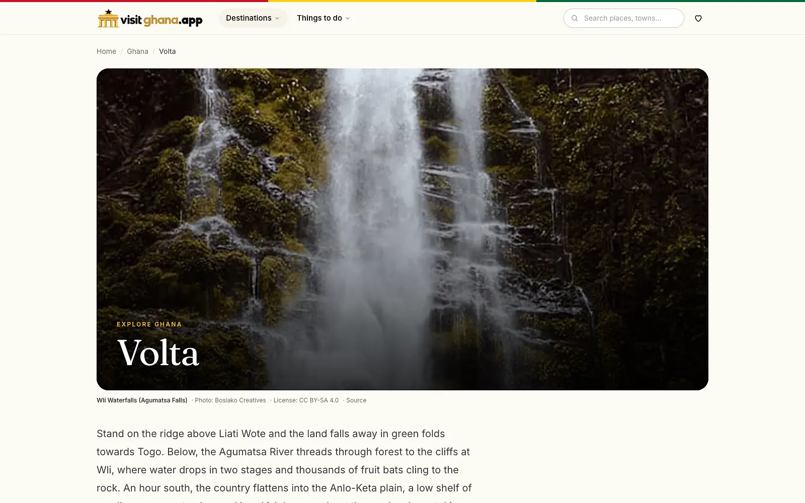
VisitGhana was created to show the range of places and experiences Ghana has to offer. It gives residents and visitors a way to browse, explore, find and save places worth visiting. The project was developed as a collaboration between the founder of Mfidie Solutions and AI coding and research agents. Within its first three weeks, the platform listed more than 650 places, according to internal project records. The aim was not merely to publish travel articles but to make Ghana’s destinations easier to discover.
The problem
A country-wide travel guide needs dependable details about many different locations. A place may be described under several names, its map coordinates may be missing, or one source may contradict another about a practical travel fact. Publishing that information without checking it risks sending someone to the wrong place or giving them outdated advice. The project also needed a consistent way to organise destinations so visitors could explore by place and interest rather than search through unrelated articles. AI could help with research and the work of building the platform, but generated coordinates and descriptions could not be treated as facts simply because they looked plausible. Checking sources became a major part of the work.
Our contribution
Mfidie Solutions’ founder directed the product, built and developed the Ruby on Rails platform with AI coding agents, organised its structured place data and worked on maps, discovery and search architecture. AI agents assisted with development and research; responsibility for deciding what to publish and checking information remained with the human project lead. The collaboration was with AI agents, not an unnamed client or a separate human development agency.
Approach
We modelled destinations as structured records that can be explored on maps and through location pages. The site supports browsing, finding places and saving them. Research used AI where helpful, including to identify possible coordinates, but we also consulted current, verifiable information. Where sources disagreed, the task was to decide which information was defensible rather than let the last generated answer win. Ruby on Rails supports the application and its programmatic SEO approach, which organises useful destination information into discoverable pages.
Challenges
- Some places lacked reliable coordinates. AI-assisted suggestions were useful starting points, but location information required checking against other available sources.
- Travel facts differed between sources or had become outdated. We compared current information and worked towards a consistent, supportable record before using it in the guide.
- Organising a large number of destinations demanded structured data rather than a loose collection of pages.
Outcomes
Visitors can browse destinations, explore the map-based information, find places and save locations of interest. Internal project records show more than 650 places listed during the first three weeks. Information verification remains ongoing as the directory grows.
Technology
- Ruby on Rails
- OpenStreetMap
Links
Services involved
-
Web Application Development
Give customers a clear way to complete tasks online without installing an application.
-
Technical SEO and Scalable Web Platforms
Make important pages easier to discover and keep a growing content site organised.